
In a property listing the first thing a buyer looks at is the photos; but the strongest side of a plot, a housing estate, a villa or a commercial building often cannot be seen from the ground: its location, surroundings, scale, view and access roads. Aerial footage shows exactly this. Still, not every drone video strengthens a listing; footage shot without a plan, saying nothing in its first seconds or shot at the wrong hour can make even a good property look ordinary.
In this article we explain how to plan drone footage for a real estate listing: which shots to take, how to build the order of the listing video, how to prepare for the shoot day and what to ask for at delivery. We described the factors that set the shoot price and what to look for in a quote in what determines drone shooting prices; here the subject is the plan of the shoot itself.
What Does Aerial Footage Do in a Listing?
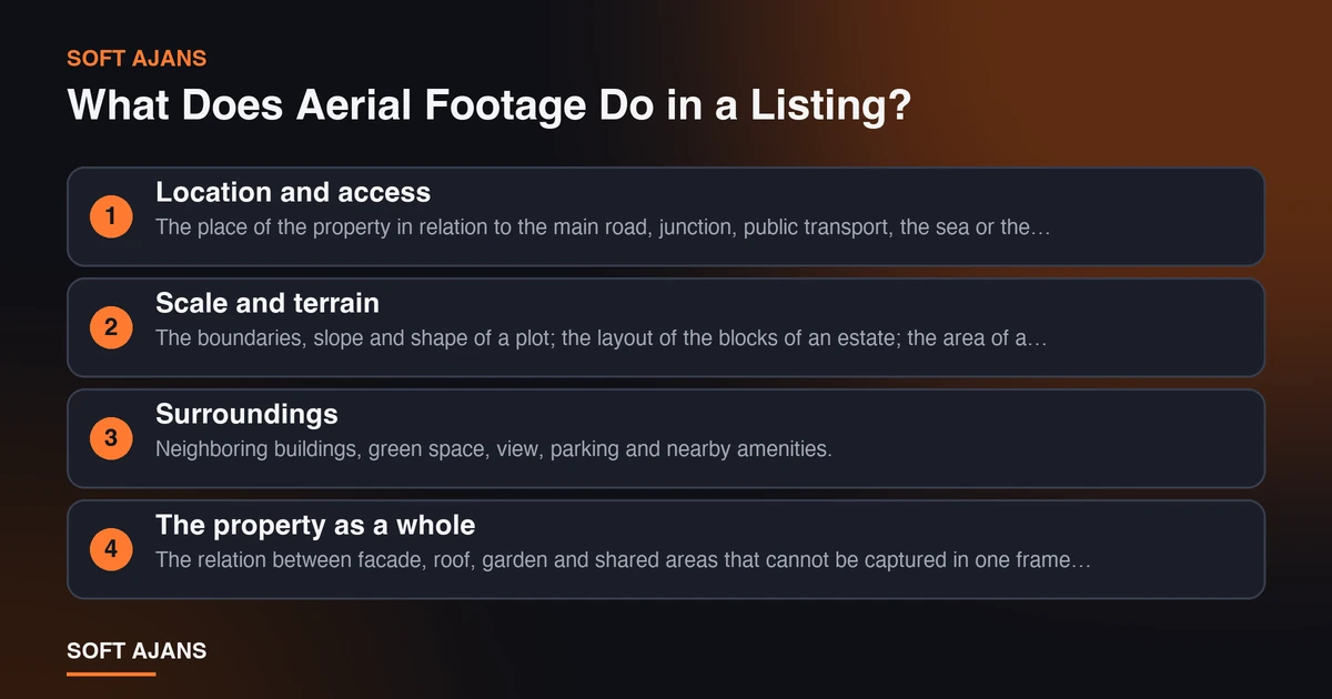
When a buyer or tenant looks at a property they ask three questions: Where is it? What are the surroundings like? What awaits me? Photos taken from the ground answer the third question but fall short on the first two. Aerial footage shows:
- Location and access. The place of the property in relation to the main road, junction, public transport, the sea or the city center.
- Scale and terrain. The boundaries, slope and shape of a plot; the layout of the blocks of an estate; the area of a factory or warehouse.
- Surroundings. Neighboring buildings, green space, view, parking and nearby amenities.
- The property as a whole. The relation between facade, roof, garden and shared areas that cannot be captured in one frame from the ground.
These make the buyer’s decision easier especially for properties with a large area (plots, fields, detached villas, estates, commercial complexes, factories). For a small apartment in the city the contribution of aerial footage can be limited; then interior photos and video matter more. Accepting from the start that not every property needs a drone lets you spend the budget in the right place.
It is also possible to plan drone work together with other production jobs; combining interior video and aerial footage in a single day balances both planning and cost. You can find the logic of this in the preparation list in what determines corporate promo film prices too.
The Shots: Prepare a Shot List
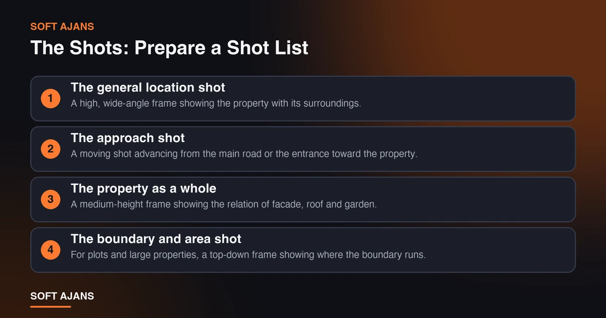
Instead of arriving on the shoot day saying “let’s get good footage”, write a shot list in advance. The basic shots that work for a real estate listing are:
- The general location shot. A high, wide-angle frame showing the property with its surroundings. The buyer finds the answer to “where is this?” here.
- The approach shot. A moving shot advancing from the main road or the entrance toward the property. It tells both access and first impression.
- The property as a whole. A medium-height frame showing the relation of facade, roof and garden.
- The boundary and area shot. For plots and large properties, a top-down frame showing where the boundary runs. It must be stated separately that the boundaries are verified with title deed data; aerial footage is not a survey document.
- The surroundings and view shot. A frame looking toward the sea, mountain, city or green space; the environmental elements that make up the property’s value.
- The access and amenities shot. A frame showing closeness to the main road, public transport, a school or the market. The real distance should also be written in text.
- Shared areas and amenities. In estates, the layout of shared areas such as the pool, parking, green space and playground.
- A sunset or bright-hour shot. A strong closing frame shot in the light where the property looks its best.
Next to the list, add a short note for each shot: at what height, from which direction, moving or still? The crew turns this list into a flight plan. Looking at the property together before the shoot and answering “what will affect the buyer most in this property?” decides the quality of the shot list.
The Order in the Listing Video: The First Five Seconds
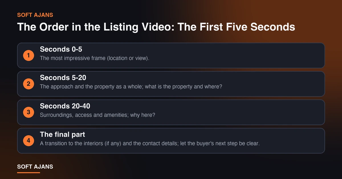
A buyer usually decides within a few seconds of a listing video whether to continue watching. So the opening of the video must be the frame that shows the property’s strongest side: the general location shot or the view. A logo animation, a long title card or a long approach shot loses the buyer in this time.
A simple order:
- Seconds 0-5: The most impressive frame (location or view).
- Seconds 5-20: The approach and the property as a whole; what is the property and where?
- Seconds 20-40: Surroundings, access and amenities; why here?
- The final part: A transition to the interiors (if any) and the contact details; let the buyer’s next step be clear.
The video should be short and focused: for a listing video, a cut that generally does not exceed a minute and a half or two and that explains the location and the property in the first twenty seconds is watched more. Also ask for a vertical short version to share on social media; how to make Instagram Reels explains the logic of short video. How you can use the video for search visibility is in what video SEO is.
Shoot Day: Light, Weather and Time Plan
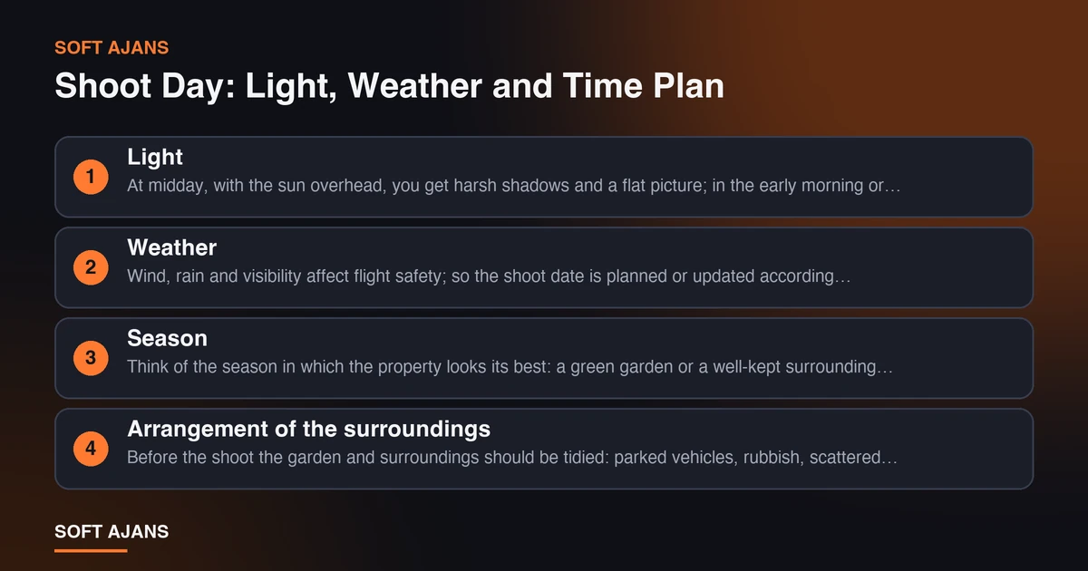
The quality of aerial footage depends largely on light and weather.
Light. At midday, with the sun overhead, you get harsh shadows and a flat picture; in the early morning or late afternoon, soft and directional light shows the property better. Knowing which facade or view is lit at which hour makes it easier to choose the shoot time.
Weather. Wind, rain and visibility affect flight safety; so the shoot date is planned or updated according to the weather. Setting aside a spare day prevents the listing from being delayed by postponements.
Season. Think of the season in which the property looks its best: a green garden or a well-kept surrounding sells more than the sight of bare and muddy land. Footage taken when trees are bare may not reflect how the property will be later.
Arrangement of the surroundings. Before the shoot the garden and surroundings should be tidied: parked vehicles, rubbish, scattered items and temporary signs become very noticeable in aerial footage. Elements that will not be in the listing video or that need privacy (neighboring gardens, license plates, people) should be considered in advance.
Time plan. The shoot time varies with the property, the number of shots and the number of flights; interior shooting cannot be done at the same moment as a flight. Discuss the time with the crew beforehand and plan interior and aerial shooting in sequence.
Permits, Safety and Privacy
In Turkey the areas where you can fly a drone and the height limits are subject to the regulations of the Directorate General of Civil Aviation (SHGM). Check the current rules with SHGM; this article is not a legal source. Ask the company you will have shoot for the following:
- Is flying allowed at this location, and who will obtain the necessary permits?
- What are the flight height and shooting area limits?
- Is there insurance or liability cover for the shoot?
- How will the privacy of neighboring properties and people be protected?
Privacy matters especially in property shoots. Neighboring gardens and windows being visible in a listing video can cause problems; think of this when planning the shots. The right of use of the footage is set by contract: with us, once the delivery and payment terms are complete, the usage rights are transferred to the customer under the contract.
What Should You Ask for at Delivery?
At the end of a shoot for a listing you should expect to receive:
- An edited listing video: The horizontal version for listing sites and your website.
- A vertical short version: For social media.
- Aerial photographs: Selected, corrected and sized for listing sites.
- Raw footage: If needed; which of it will be delivered should be written down in advance.
- Technical format information: Resolution and file type; considering the upload limits of the listing site and the speed of your website.
When using photos and videos on your website, reducing file size is important for speed. Our image compression tool (in Turkish), which runs in the browser, helps with individual images; your files are not sent to a server. For the general framework of digital marketing in real estate see digital marketing for real estate offices.
The 12-Point Real Estate Drone Shoot Checklist
- I assessed that a drone shoot will really contribute to this property (large area, surroundings, view).
- I wrote a shot list at the property before the shoot.
- The general location shot and the approach shot are on the list.
- For plots or large properties there is a boundary shot; it was stated that it will be verified with title deed data.
- Surroundings, access and amenity shots are planned.
- The shoot hour was chosen by light; a spare day was set aside.
- The garden and surroundings were tidied; unwanted visible elements were removed.
- The flight permit and safety issues were clarified with the shoot company.
- The privacy of neighboring properties and people was taken into account.
- The strongest shot is in the first five seconds of the video.
- The horizontal video, vertical short version and photos are written in the delivery list.
- Usage rights and delivery formats are clear in the contract.
Common Mistakes
- Shooting without a plan. Footage shot without a shot list is scattered and does not help in editing.
- Wrong hour and season. Harsh midday light or a bare surrounding makes the property look weaker than it is.
- Long and slow openings. Showing a logo and text instead of location or view in the first seconds loses the viewer.
- Treating aerial footage as an exact measurement. Verify plot boundaries from the title deed and survey documents, not from the footage.
- Forgetting privacy. Neighboring gardens, windows and people can cause problems in a listing video.
- Leaving the permit to the end. A shoot plan falls apart at the last moment in an area where flying is not permitted.
- Asking for a single version. Besides the horizontal video, a vertical version and photos should be taken as well.
What Does Soft Ajans Do in Drone Photography?
In our drone photography service we produce aerial video and photos for real estate promotion, construction and project progress tracking, event and organization shooting and tourism and venue promotion. The process starts with a needs analysis; the purpose of the shoot, the medium in which it will be used and the features of the location are evaluated. The flight plan, area, height limit and necessary permits are prepared in line with SHGM regulations; after the shoot, editing, color grading and, where needed, music integration are done and the content is delivered.
Video, photographs or both together can be offered as needed; drone shooting can be planned in a single production with ground shoots such as a corporate promo video or an advertising film. The price is not a fixed package; it is set specifically for the project according to shooting time, location, number of flights and the scope of editing. Our base is in Ankara, and we also consider shoots in other cities depending on the scope of the project. For our general production service see production and advertising, and for basic information on what drone shooting is, see what drone shooting is.
Frequently Asked Questions
Is drone photography necessary for every property listing?
No. It contributes most for properties with a large area (plots, villas, estates, commercial complexes, factories) and where location, surroundings and view affect the sale. For a small apartment in the city, interior shooting is often more important.
Is a permit needed for drone shooting?
Yes; permits and regulations apply according to the area and height. The areas where a drone may fly and the height limits are subject to SHGM regulations. Ask the company you will use who will obtain the permits, and check the current rules with SHGM.
How long does the shoot take?
It varies with the property, the number of shots and the number of flights. Discuss the time with the crew before the shoot; if you will combine interior and aerial shooting, plan them in sequence. Editing takes a separate time.
Does aerial footage prove a plot boundary?
No. Aerial footage is a visual presentation, not a survey document. Boundaries must be verified with the title deed and official survey data; stating this in the listing prevents a misleading expectation.
How long should a listing video be?
A cut that generally does not exceed a minute and a half or two and that explains the location and the property in the first twenty seconds is watched more. For social media also ask for a short vertical version.
What happens if the weather is bad?
Wind, rain and visibility affect flight safety, so the shoot date is planned or updated according to the weather. That is why we recommend setting aside a spare day.